Professional Precision GNSS Antenna: Advanced Multi-Constellation Surveying Solution for High-Accuracy Applications

All Categories

Get a Free Quote

Our representative will contact you soon.
Email
Name
Company Name
Message
0/1000

precision gnss antenna for surveying

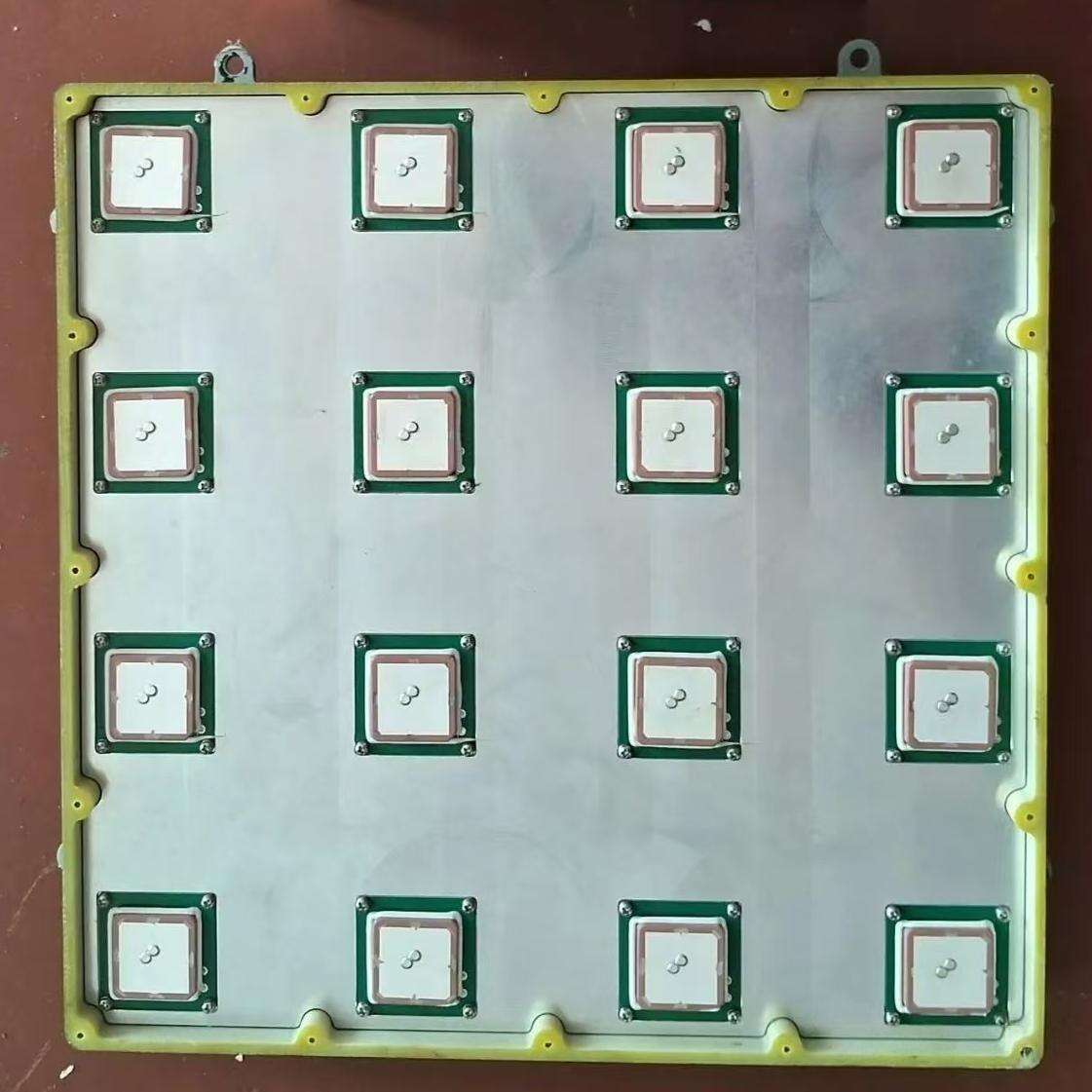
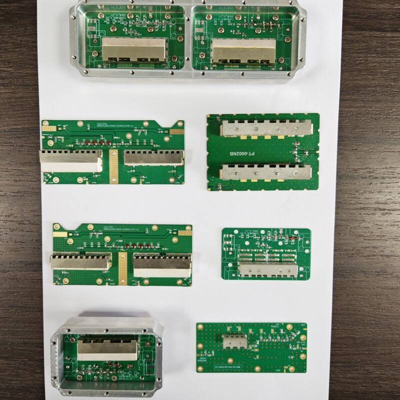
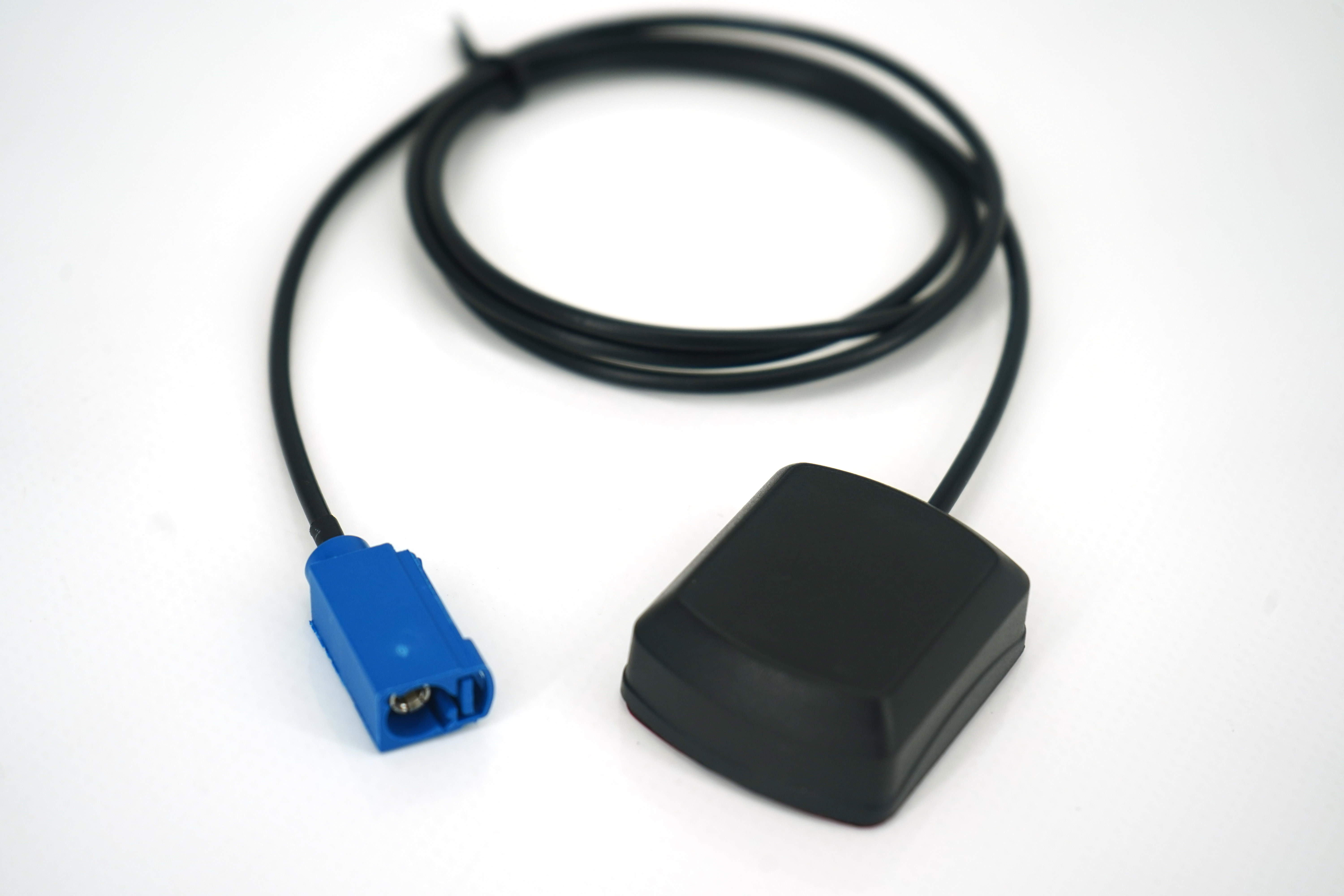
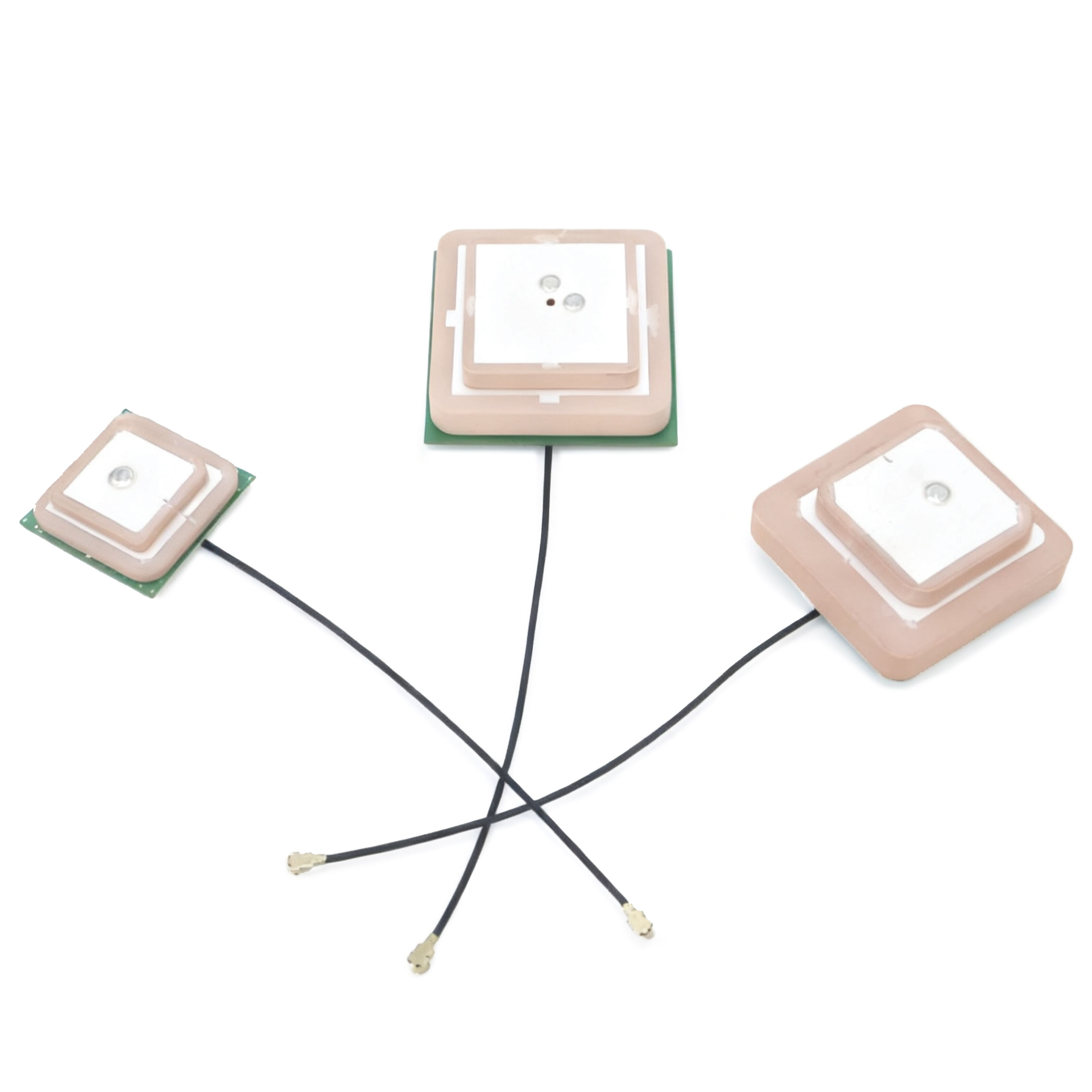
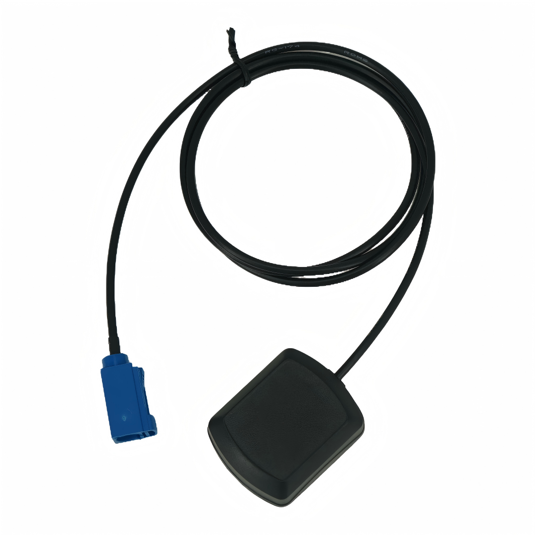
A precision GNSS antenna for surveying represents cutting-edge technology in geospatial data collection and mapping. This sophisticated device receives signals from multiple satellite constellations, including GPS, GLONASS, Galileo, and BeiDou, ensuring comprehensive coverage and enhanced accuracy. The antenna features advanced multipath mitigation technology, which effectively reduces signal interference from reflective surfaces, resulting in more reliable measurements. Its robust design incorporates phase center stability and superior signal tracking capabilities, enabling centimeter-level precision in positioning applications. The antenna's wide-band reception allows for simultaneous tracking of multiple GNSS frequencies, while its low noise amplifier (LNA) technology ensures optimal signal quality even in challenging environments. Modern precision GNSS antennas are typically equipped with ground plane technology that helps minimize signal multipath effects and maintains accuracy across various surveying conditions. These antennas are essential tools in various applications, including cadastral surveying, construction layout, topographic mapping, and precision agriculture. Their compact and weatherproof design makes them suitable for extended field operations, while their power efficiency ensures long-lasting performance during surveys.

New Product Recommendations

The precision GNSS antenna for surveying offers numerous practical benefits that make it an invaluable tool for modern surveying operations. First, its multi-constellation capability significantly improves satellite availability, allowing surveyors to work efficiently even in areas with partial sky visibility, such as urban canyons or forested regions. The enhanced accuracy achieved through advanced signal processing technology reduces the need for multiple measurements, saving valuable time and resources in the field. The antenna's robust construction ensures reliability in various weather conditions, eliminating downtime due to environmental factors. Another significant advantage is the rapid initialization time, enabling surveyors to begin work quickly and maintain productivity throughout the day. The antenna's superior multipath rejection capabilities minimize errors caused by signal reflection, resulting in more reliable data collection and reduced post-processing time. Its compatibility with various surveying controllers and software platforms provides flexibility in equipment integration and workflow optimization. The antenna's power-efficient design extends battery life, allowing for extended field operations without frequent charging or battery replacement. Additionally, the built-in ground plane technology ensures consistent performance regardless of the mounting setup, simplifying field procedures. The antenna's ability to track multiple GNSS frequencies simultaneously improves accuracy and reliability in challenging environments, while its compact size and lightweight design enhance portability and ease of use. These advantages translate into increased productivity, reduced operational costs, and improved survey quality for professionals across various industries.

Tips And Tricks

Comprehensive Analysis of the Advantages and Features of the 16-Array Controlled Reception Pattern Antenna (CRPA)

03

Nov

Comprehensive Analysis of the Advantages and Features of the 16-Array Controlled Reception Pattern Antenna (CRPA)

View More
An In-Depth Analysis of the Characteristics of Microwave Dielectric Ceramic Duplexers

03

Nov

An In-Depth Analysis of the Characteristics of Microwave Dielectric Ceramic Duplexers

View More
IOTE International Internet of Things Exhibition 2025 Concludes in Shenzhen, Charting the Future of a Hyper-Connected World

03

Nov

IOTE International Internet of Things Exhibition 2025 Concludes in Shenzhen, Charting the Future of a Hyper-Connected World

View More
The Application of High-Precision Antennas in Unmanned Lawn Mowers: Enabling a Revolution in Autonomous Grounds Care

03

Nov

The Application of High-Precision Antennas in Unmanned Lawn Mowers: Enabling a Revolution in Autonomous Grounds Care

View More

Get a Free Quote

Our representative will contact you soon.
Email
Name
Company Name
Message
0/1000

precision gnss antenna for surveying

Advanced Multi-Constellation Reception

Advanced Multi-Constellation Reception

The precision GNSS antenna's advanced multi-constellation reception capability represents a significant technological breakthrough in surveying equipment. This feature enables simultaneous tracking of signals from all major satellite systems, including GPS, GLONASS, Galileo, and BeiDou, providing unprecedented satellite availability and geometric diversity. The ability to process multiple satellite signals simultaneously results in improved accuracy and reliability, particularly in challenging environments where traditional single-constellation systems might struggle. This enhanced satellite coverage reduces initialization times and minimizes the impact of signal obstruction, allowing surveyors to work efficiently in urban areas, under tree canopy, or in other locations with limited sky visibility. The sophisticated signal processing algorithms employed in the antenna optimize the integration of different constellation signals, ensuring seamless operation and consistent accuracy across varying conditions.
Superior Multipath Mitigation Technology

Superior Multipath Mitigation Technology

The antenna's superior multipath mitigation technology represents a crucial advancement in ensuring survey accuracy and reliability. This sophisticated system effectively identifies and filters out reflected signals that can compromise measurement accuracy, particularly in environments with reflective surfaces such as buildings, water bodies, or metallic structures. The technology incorporates advanced signal processing algorithms and physical design elements, including specialized antenna elements and ground plane configurations, to discriminate between direct and reflected signals. This capability significantly reduces measurement errors and improves the overall quality of survey data. The system's ability to maintain accuracy in challenging environments reduces the need for repeat measurements and minimizes post-processing time, ultimately leading to more efficient survey operations and higher-quality results.
Innovative Phase Center Stability

Innovative Phase Center Stability

The innovative phase center stability feature of the precision GNSS antenna ensures exceptional measurement consistency and reliability across all operating conditions. This technology maintains a stable electrical center point regardless of satellite elevation angle or azimuth, critical for achieving millimeter-level precision in survey measurements. The advanced design incorporates specialized materials and precise manufacturing techniques to minimize phase center variations, resulting in more accurate position determinations. This stability is particularly important for high-precision applications such as deformation monitoring, machine control, and precise point positioning. The consistent phase center behavior across different frequencies and satellite systems ensures optimal performance in RTK and static surveying applications, while also facilitating seamless integration with various positioning techniques and measurement methods.

Get a Free Quote

Our representative will contact you soon.
Email
Name
Company Name
Message
0/1000