precision gnss antenna for mapping
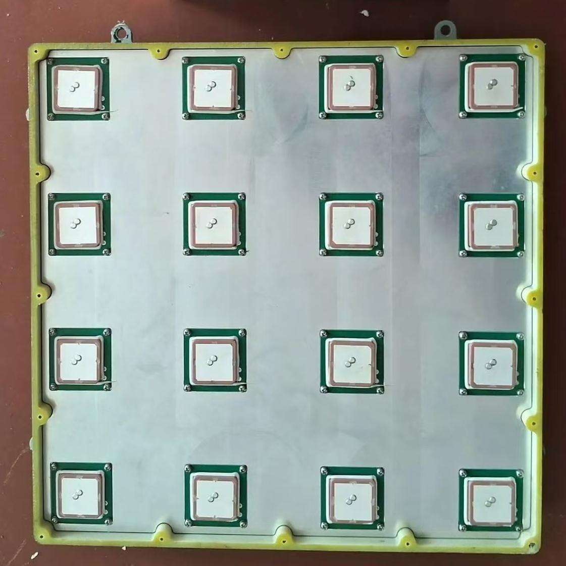
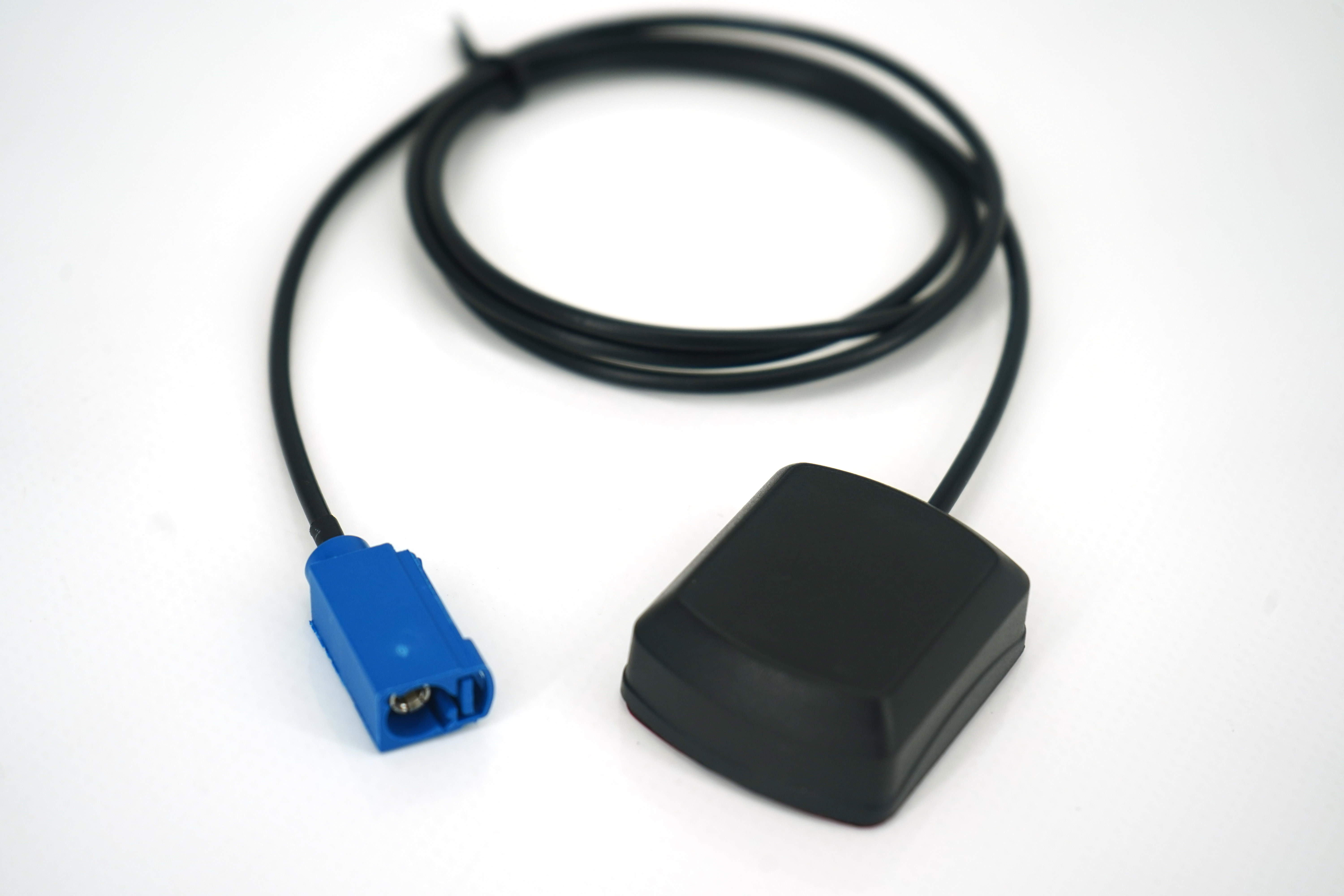
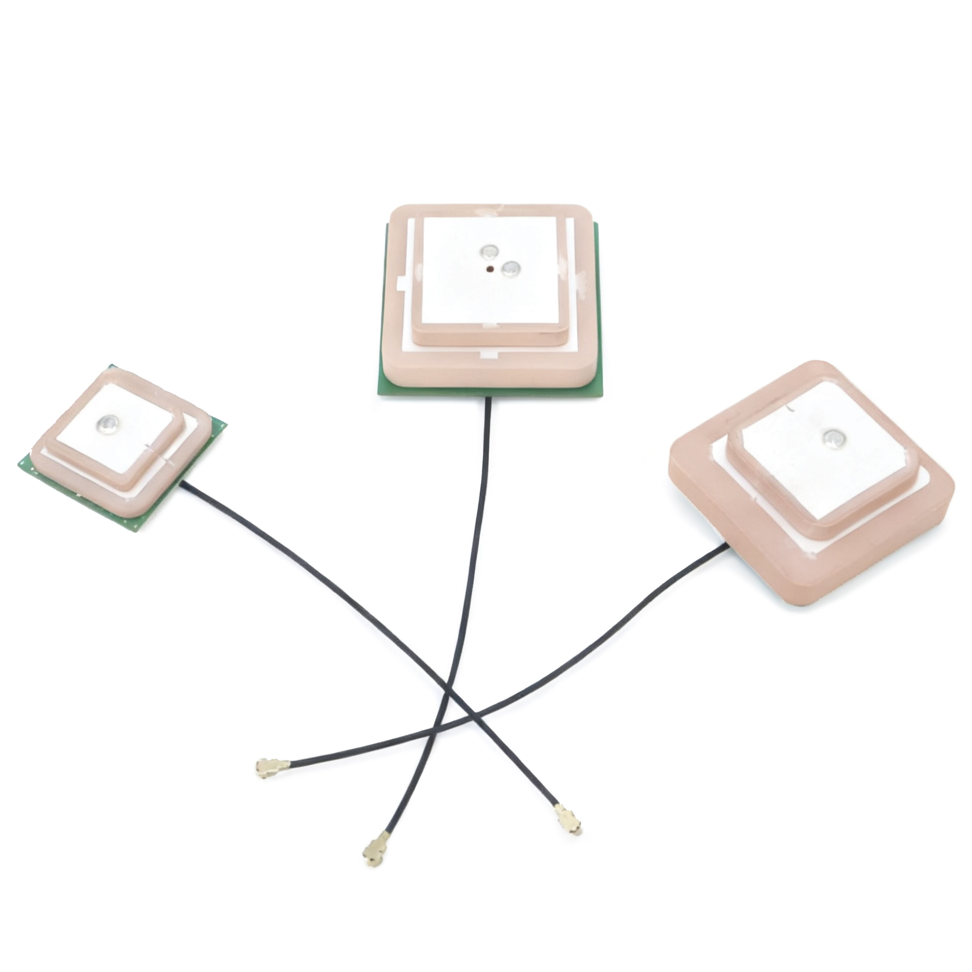
A precision GNSS antenna for mapping represents a cutting-edge technological solution designed to provide highly accurate positioning and navigation capabilities for various mapping applications. This sophisticated device receives signals from multiple satellite constellations, including GPS, GLONASS, Galileo, and BeiDou, ensuring comprehensive coverage and enhanced accuracy. The antenna features advanced multipath mitigation technology that reduces signal interference from reflected surfaces, delivering consistently reliable data collection. Built with high-grade materials and precision engineering, these antennas offer superior phase center stability and exceptional signal reception even in challenging environments. The design typically incorporates a ground plane to minimize signal reflections and optimize performance. Modern precision GNSS antennas support both L1 and L2 frequencies, enabling RTK (Real-Time Kinematic) positioning for centimeter-level accuracy. These devices are essential tools in professional surveying, precision agriculture, construction layout, and GIS data collection. The antenna's robust construction ensures reliable operation in various weather conditions, while its compact form factor facilitates easy mounting on survey poles, vehicles, or fixed installations. Advanced filtering technology helps eliminate interference from nearby radio sources, ensuring clean signal reception and accurate positioning data. This technology has revolutionized the mapping industry by enabling faster, more precise data collection and improved workflow efficiency.